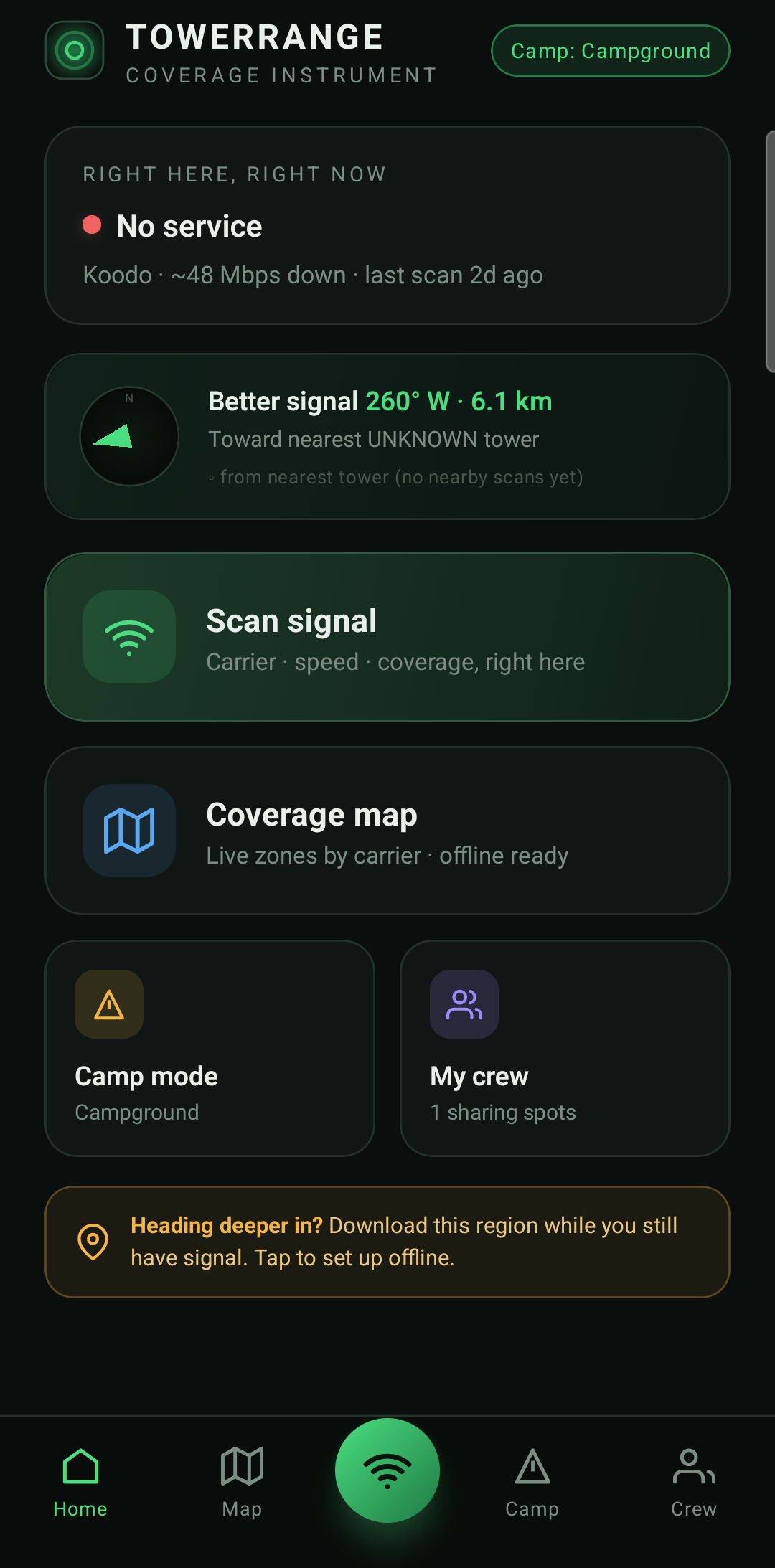
TowerRange turns real-world signal scans, cell-tower data, and terrain into a live map of where your phone works — and where it won't. Built for the backcountry, job sites, and anywhere reception is a question.


One honest map of the real world — no guesses dressed up as guarantees.
Your signal scans build a colour-coded map of strong, weak, and dead zones — the more you scan, the sharper it gets.
Tens of thousands of real Canadian cell-tower sites with operator info, licensed bands, and estimated reach.
A terrain line-of-sight model predicts where a tower can actually reach — honest about the fact it's an estimate, not a promise.
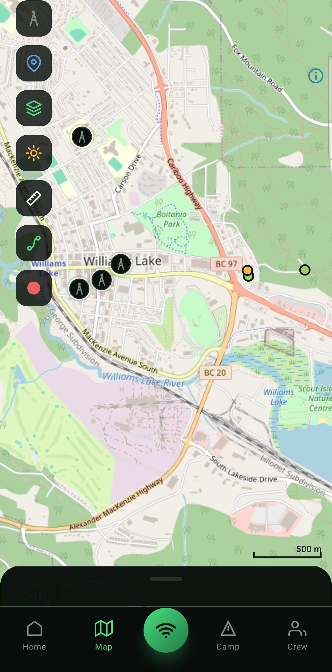
Tap two points or drop a pin on yourself to measure real distances on the map, live as you go.
Record where you've worked or walked — in the background, in your pocket. Save colour-coded routes and share them.
Download a region before you lose signal. Trails, huts, towers, and your waypoints are built in and work anywhere.
One tap reads your signal and pins it to the map — carrier, strength, and speed, right where you're standing.
Towers, coverage, terrain estimates and crowd-sourced spots show you where reception lives nearby.
Head for the nearest signal — or record your whole day and see exactly where you've been.
TowerRange uses your location for one reason: to help you find signal. Route recording only ever runs when you tap Record — never in the background otherwise — and your recorded routes stay on your phone unless you choose to share them. No accounts, no ads, nothing sold.
TowerRange doesn't boost your signal — it shows you where reception already is, so you can plan around the dead zones before you head out. Launching soon on Google Play, with iOS to follow. Free, ad-free, and made in Canada.