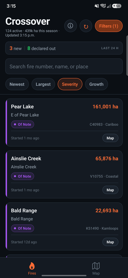
Every active wildfire in British Columbia — size, status, growth and new starts. Plus crossover, the point where fire behaviour gets aggressive, estimated from the nearest fire weather stations.
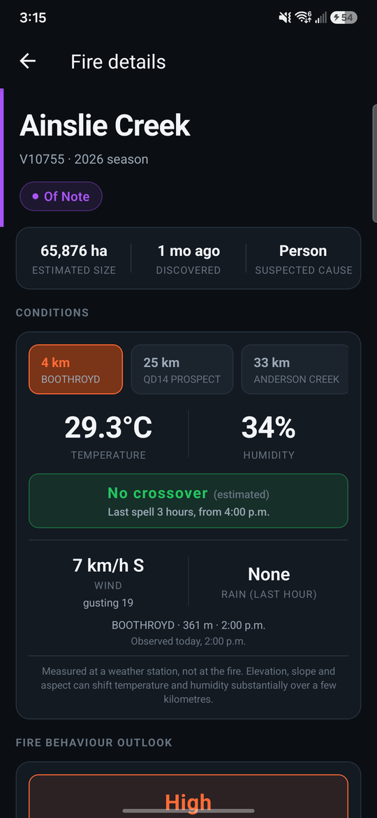
Flags when temperature in degrees Celsius exceeds relative humidity in percent, and shows how long the spell has run. Not in one now? It tells you when the last one was and how many hours it lasted.
Show only fires in crossover right now, or those that crossed over in the last 3, 6, 12 or 24 hours — or the ones that have stayed clear for a full day.
Temperature, humidity, wind, gusts and rain from the nearest reporting BC Wildfire Service station, with its distance and elevation. Switch between the three closest stations or a blend, because they often disagree.
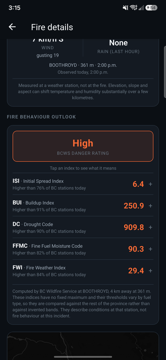
The published danger rating plus ISI, BUI, Drought Code, FFMC and FWI. Tap any one for what it means and where that value sits against every reporting station in the province right now.
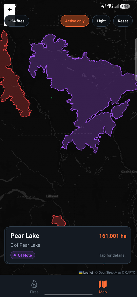
The mapped outline of a fire where BC Wildfire Service has flown it, coloured by stage of control. Zoom in and the markers give way to the actual shape of the burn.
The last downloaded list stays on the phone. List, search, sort, filters and fire details all work offline. Only the map tiles need a connection.
Crossover is not an official app. It is not made, endorsed, or supported by the BC Wildfire Service or the Province of British Columbia. Always confirm anything operational against official sources.
Conditions shown are estimates. Weather comes from stations, not from the fire. The nearest one is typically 15 to 30 kilometres away, and elevation, slope and aspect move temperature and humidity over that distance. Crossover here is an indication for the area, never a reading at the fireline.
Growth is reported growth. BC Wildfire Service revises a fire size when the fire is remapped, sometimes days apart, so a fire can be running hard and still read flat.